Severe weather prompts tornado warnings across five southern states
Severe weather prompts tornado warnings across five southern states
- Tornado watch alerts were issued by the National Weather Service for five southern states.
- Severe thunderstorms, damaging winds, and potential tornadoes are expected as conditions evolve.
- Residents are urged to prepare for extreme weather and remain alert for emergency notifications.
Story
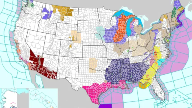
In the United States, today marks a significant weather event impacting the eastern half of the nation. The National Weather Service (NWS) has reported tornado watch alerts across five Southern states, primarily in the Deep South - Mississippi, Alabama, Louisiana, Tennessee, and Georgia. These alerts are designed to warn communities of the potential for severe storms and tornado conditions, urging residents to stay vigilant and prepared for any warnings that may arise. As the alerts remain in effect until tomorrow morning, local authorities are stressing the importance of readiness due to the fluctuating and severe nature of the weather forecast. Much of the storms stem from a severe weather front moving across the eastern U.S., which has already caused widespread disruptions, including thunderstorms in the South and heavy snow in the Upper Midwest. The weather has set off numerous concerns for damaging winds as it moves toward the Appalachians. Forecasters indicate that it could generate severe thunderstorms and a high risk for tornadoes, particularly affecting communities from South Carolina up through Maryland. Such conditions compel residents to enable emergency alerts on their devices and prepare for gusts anticipated to reach 74 mph. In Mississippi, specific areas like Clarke County and cities including Hattiesburg, Columbia, and others are under a watch. Alongside, Alabama's northeastern region and parts of central Alabama’s counties and cities are included under alert, emphasizing the severity of expected weather. In Louisiana, several counties, notably Ascension and East Baton Rouge, are also on alert, affecting multiple cities such as Baton Rouge and Denham Springs. Tennessee’s tornado watch includes extensive areas spreading to Middle and Eastern Tennessee, highlighting cities like Cookeville and Chattanooga. In Georgia, the watch extends to northwest areas like Walker and Whitfield counties, affecting cities including Dalton and LaFayette. Residents are advised to make necessary preparations as weather conditions continue to develop. As the situation evolves, local governments and authorities coordinate efforts to ensure public safety and disseminate information regarding weather updates and emergency procedures. The significant risk posed by this weather front demonstrates the critical importance of community preparedness in the face of unpredictable and severe weather events.
Context
Severe weather conditions in the United States have become a significant concern, particularly as we approach the transitional season of spring. During this time, weather patterns can shift dramatically, leading to an increase in severe weather events such as thunderstorms, tornadoes, heavy rainfall, and flooding. Meteorologists closely monitor these trends as they can have profound impacts on communities, infrastructure, and the environment. Over the past few weeks, various regions across the country have already begun to experience the effects of this volatile weather, prompting warnings and advisories from the National Weather Service and other meteorological organizations. Current reports highlight that the Midwest and Southern states are at a higher risk for severe thunderstorms and tornadoes. The warm, moist air pushed northward from the Gulf of Mexico interacts with the cooler, drier air descending from Canada, creating ideal conditions for the formation of severe storms. These storms are characterized by intense winds, hail, and the potential for tornado formation. Residents in these areas are advised to stay informed through weather alerts, take necessary precautions, and have a safety plan in place, especially if they live in tornado-prone regions. In addition to tornado threats, heavy rainfall in certain areas can lead to flash flooding, causing hazardous conditions for both pedestrians and drivers. Flood watches and warnings have been issued in several states, particularly those experiencing prolonged rain or sudden downpours. The inability of urban drainage systems to handle excessive runoff can exacerbate flooding risks, and rural areas may also suffer from swollen rivers and creeks. It is critical for individuals to understand local flood zones and heed any evacuation orders if necessary. The impact of these severe weather conditions is far-reaching, not only affecting the safety and lives of those in the immediate vicinity but also influencing local economies, agriculture, and disaster response resources. As communities brace for the upcoming storm season, preparedness and timely communication remain essential. Local governments and emergency management agencies are encouraged to engage with residents proactively, ensuring they have access to necessary resources and information to protect themselves during severe weather events. With these conditions expected to persist as we move further into spring, vigilance and preparedness are key.