Drone technology reveals ancient farming practices in Michigan
2025-06-10 11:16- Dartmouth archaeologists used drones with lidar technology to survey ancient farming fields in Michigan's Upper Peninsula.
- The excavation revealed evidence of agricultural practices dating back to around the year 1000, with continued use over the following 600 years.
- The research enhances understanding of the pre-Colonial farming systems of the Menominee communities and preserves their cultural heritage.
Express your sentiment!
Insights
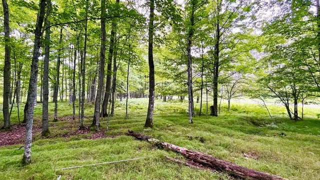
In recent research conducted in the Upper Peninsula of Michigan, Dartmouth archaeologists, in collaboration with Menominee tribal leaders, employed drone technology to uncover new insights about ancient farming systems established by ancestral Menominee communities. This location, situated along the Michigan-Wisconsin border, has been recognized for its historical significance, including burial mounds and village sites excavated in previous decades. By using lidar technology, researchers were able to detect agricultural ridges, building foundations, and burial mound locations that had long been concealed by forest growth. This advancement allowed for a more comprehensive understanding of the agricultural practices that took place around the year 1000, with evidence suggesting that these practices were refined over the subsequent 600 years. The archaeologists focused their survey efforts on 330 acres but noted that evidence suggests the site may extend to twice this area. Drone surveys took place in May 2023. Following the survey, excavation at three agricultural ridges near the Menominee River revealed broken ceramics, charcoal samples, and soil modifications that indicate significant agricultural activity in the area. Radiocarbon dating of the charcoal samples pinpointed the period of construction and use to around 1000 CE. The collective findings demonstrate that the Menominee ancestors executed a sophisticated farming system, which included modified soil and topographies to enhance the cultivation of crops such as corn at a northern limit for its growth. The historical context provided by this research helps to preserve the heritage of the region and contributes to the wider understanding of indigenous agricultural practices in North America.
Contexts
Drone technology is becoming increasingly integral to archaeological research, offering new methods for surveying and documenting sites. UAVs (Unmanned Aerial Vehicles) are capable of capturing high-resolution aerial imagery that can reveal patterns not easily visible from the ground. This technology allows archaeologists to survey large areas quickly and efficiently, significantly enhancing the speed and accuracy of data collection. In recent years, as drones have become more accessible due to declining costs and increasing ease of use, their implementation in archaeology has expanded dramatically. They are utilized for aerial mapping, 3D modeling, and even monitoring changing landscapes to detect signs of ancient human activity or archaeological features beneath vegetation or soil cover. Importantly, drone technology contributes to non-invasive methods of archaeological investigation. Traditional methods often involve excavation, which can be destructive and result in the loss of contextual information. Drones allow for the remote sensing of archaeological sites, which helps preserve the integrity of the landscape. Alongside high-quality imagery, data collected via drones can be processed using photogrammetry techniques to produce detailed models of sites and artifacts. This not only aids in documentation but also enhances public engagement through interactive digital presentations that can make archaeological findings accessible to wider audiences. Moreover, the versatility of drone applications in archaeology extends beyond mere documentation. Drones equipped with multispectral cameras can detect subsurface anomalies by analyzing vegetation health tied to different soil types, which helps locate potential archaeological sites. Additionally, LiDAR (Light Detection and Ranging) technology mounted on drones provides precise topographical data, enabling archaeologists to identify buried structures and landscape features obscured by dense vegetation. This combination of technologies empowers researchers to formulate hypotheses about ancient societies with greater confidence and depth. As drone technology continues to advance, the potential for new archaeological discoveries increases. It provides archaeologists with tools to conduct research in challenging environments—such as mountainous or forested areas—where traditional methodologies could be logistically difficult or impossible. Nevertheless, it is crucial that archaeologists utilize such technologies ethically and responsibly, ensuring a balance between innovation and the preservation of cultural heritage. By continually integrating these state-of-the-art tools into their practice, archaeologists are poised to redefine the exploration and understanding of human history.